Key Facts For Buyers
6 Station Road, Eckington
Sheffield · S21 4FX
6 Station Road · S21 4FX


Type
Detached
Beds
4
Baths
3
Floor area
2,186 ft²
£/ft²
£274
Asking price
£549,950
£600,000
Reduced 29 Jan 2026 · Guide price · Freehold
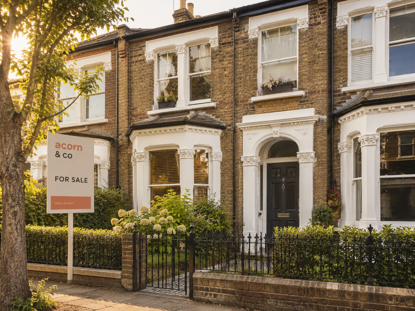
For sale
↓ Reduced 8.3%
Price positioning
vs market & model
£260k low comp
£521k high comp
AI valuation
£551,664
Asking -0.3% · 93% conf
Area avg · S21
£540,957
Asking +1.7%
£/ft² · this vs area
£274 / £252
+8.7% premium
Brought to you by
acorn& co
acorn of Banner Cross
952 Ecclesall Road, Sheffield, S11 8TR
- Telephone
- 0114 697 3517
- bannercross@acorn.co.uk
- Website
- www.acorn.co.uk